
The Aire-Calder Watershed....

Leeshaw Reservoir....

Leeshaw Reservoir....

Leeshaw from Bodkin Top...

Penny Poll...

Top Conduit....

Leeshaw Reservoir and Haworth Boundary Marker....

Top Conduit....

Oxenhope Stoop....

The Watershed....

The Farm accross the shed.....

Haworth / Keighley Corporation Boundary Marker....

"Wuthering Heights"!.....
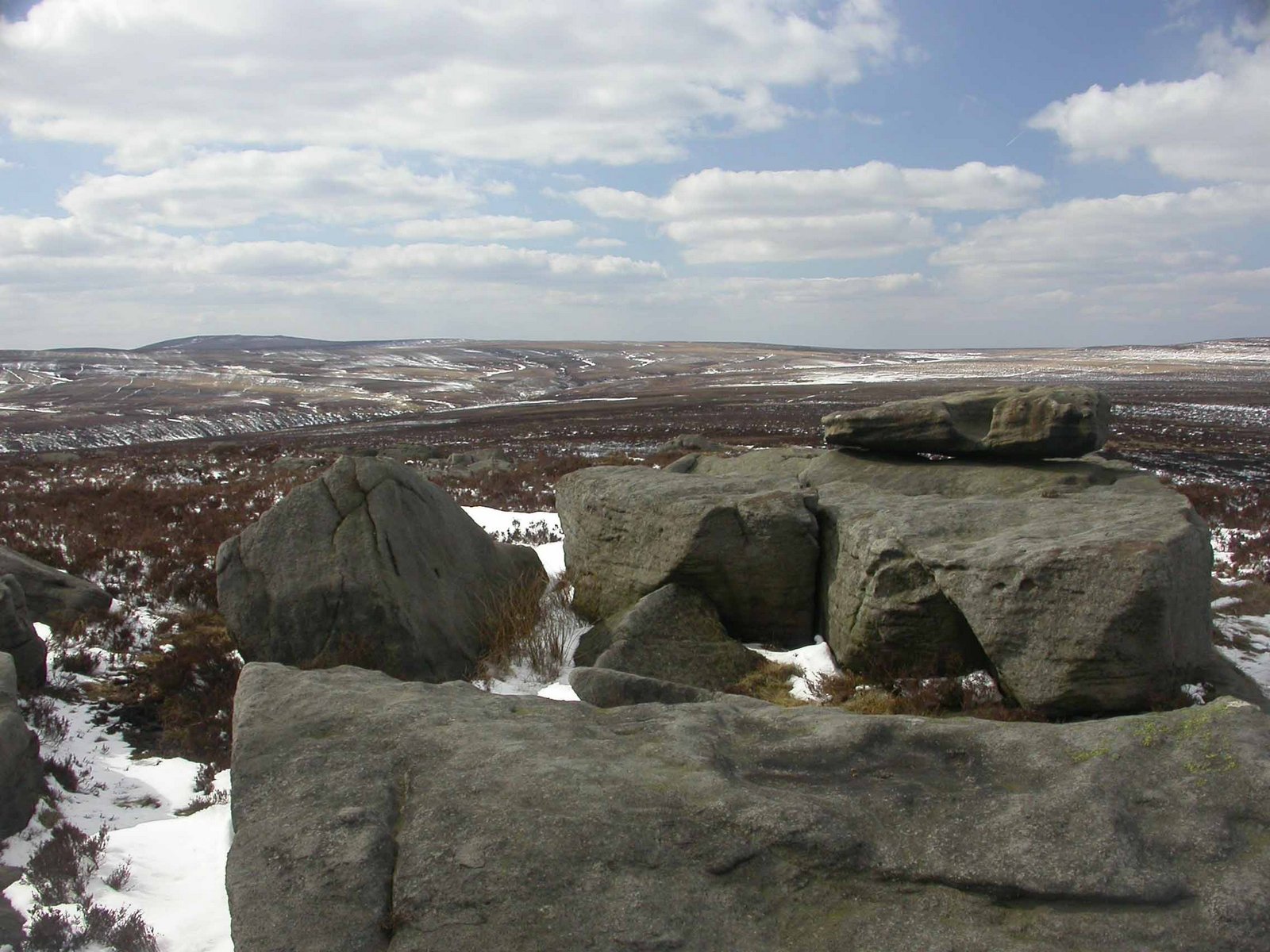
Alcomden Stones...

The "gripped" moor.... with Lad Law towering beyond....

Jacksons Ridge....

Alcomden Stones....
Sixteen Images all Copyright 2013
Only a meagre ten mile walk today but conditions whilst morass still frozen and easily passable the snow much softer and more difficult lower down. Nevertheless another cracking day but sad that the sun wouldn't shine when needed for the snaps. Little obvious activity in the sky throughout. Lapwings again absent from all of the high in-byes and Golden Plovers totally evacuated! and again very few Meadow Pipits / no other moorland passerines. However when walking home from the shops late pm at least 50 mipits lifting off from greening fields to continue on north.... So perhaps the wave is at last starting!
Dave

posted by Dave Barker at
3/30/2013 10:02:00 pm
![]()

2 Comments:
Good one Dave ,I don,t know how you know the names of all these points but very interesting stuff.
Its where I grew up Bri, thus the names stick!
Post a Comment
Subscribe to Post Comments [Atom]
<< Home